Project Description
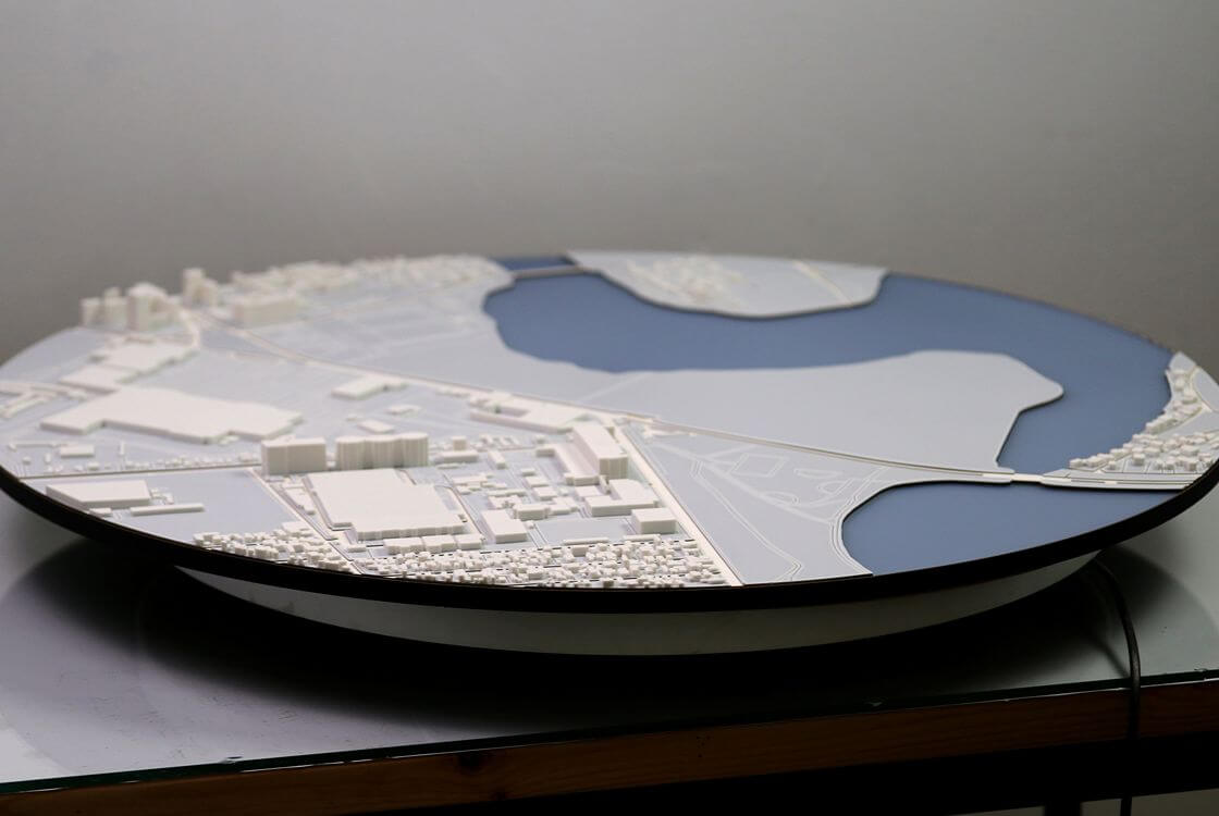
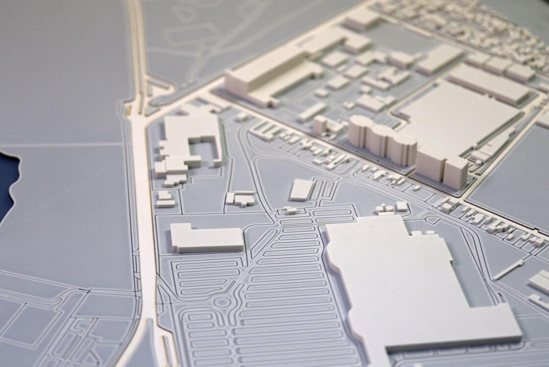
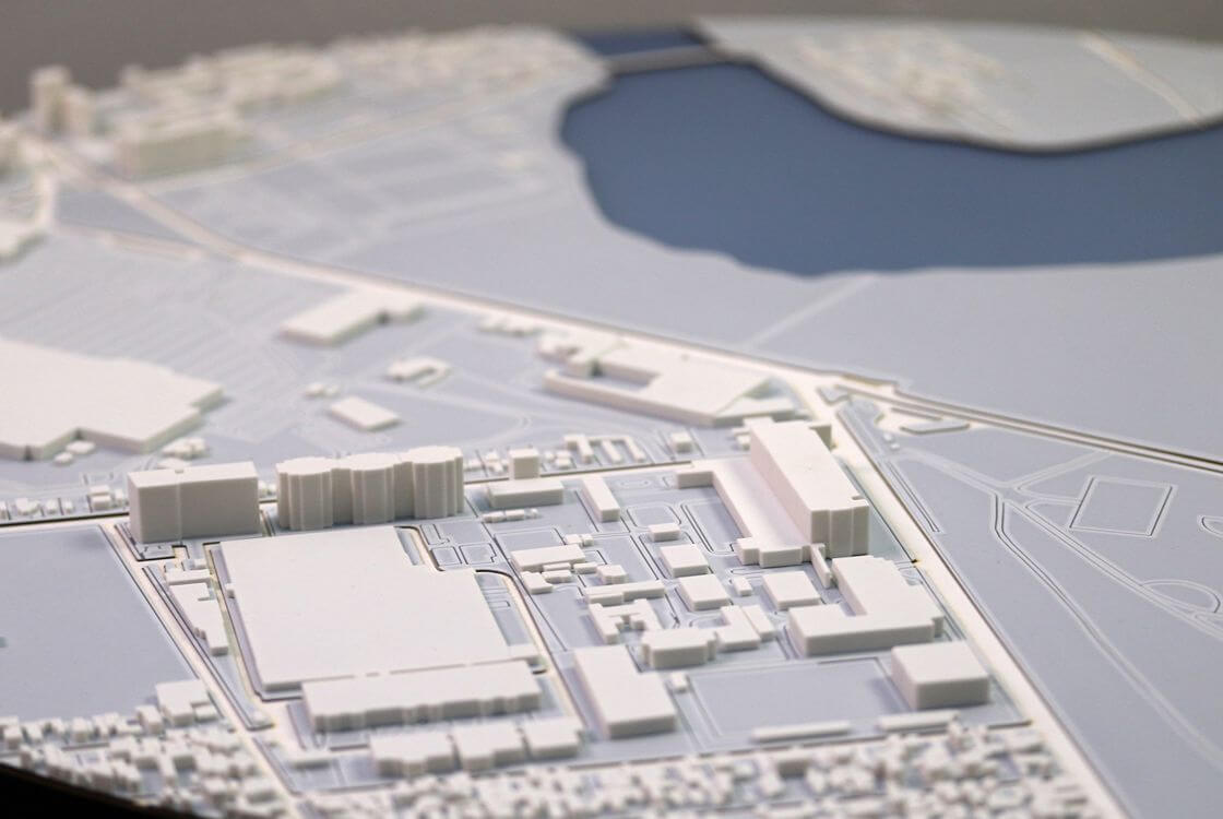
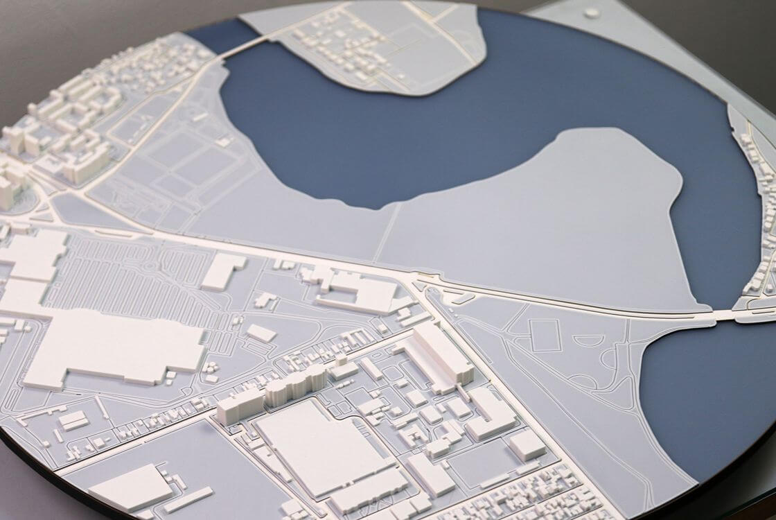
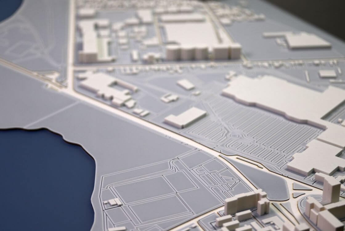
This architectural scale model offers a three-dimensional representation of an urban area, showcasing the arrangement of buildings, transportation routes, open spaces and surrounding water features. The model highlights the overall structure of the site and illustrates how built-up areas, road infrastructure and open spaces come together to form an organised urban environment.
The simplified building volumes make it easy to understand the distribution of structures, the density of development and the relationships between different parts of the site. Roads, intersections and access routes illustrate the connections throughout the area, while the surrounding water features help define the site’s layout and geographical context.

Designed to communicate the broader vision of an urban development, the model emphasizes spatial planning, the relationship between buildings and infrastructure, and the integration of the proposed layout with its surroundings. Its clean presentation allows the main elements of the site to be understood without the distraction of detailed architectural finishes.
This type of scale model is a valuable visual tool for architects, urban planners, developers and project teams involved in planning and presenting urban environments. It helps communicate development concepts, explain site organization and provide a clear three-dimensional perspective for professional presentations, planning discussions and project reviews.