Project Description
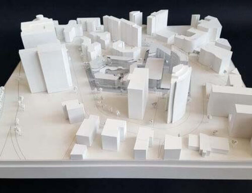
This is a monochromatic topographic scale model, designed to provide a precise physical representation of a specific geographical area. The model is crafted entirely in a minimalist white finish, which shifts the focus toward the pure geometry of the land. The terrain is built using a stepped-layer technique, where each sheet represents a specific elevation increment.
The tight spacing of these lines indicates steep slopes, while wider gaps represent flatter plateaus or valley floors. The model reveals a diverse landscape, featuring a prominent central ridge or hill that slopes down into flatter basins. Fine etched lines across the surface suggest existing or proposed infrastructure, such as property boundaries, access roads, or drainage paths.

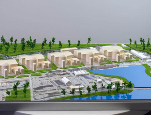
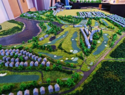
Topographic models are a representation of the earth’s surface and are essential tools used in numerous economic activities, as they are able to offer a valuable perspective on how nature interacts and affects the environment.
Topographic models provide a clear picture of the relief and height differences, they include both natural elements such as mountains, hills, valleys, rivers and others, as well as artificial ones, for example buildings, roads or other components related to infrastructure.